Colgate Licks Loop
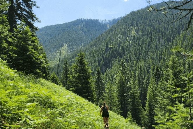
With rewarding views of the Wild & Scenic Lochsa River and Bear Mountain, this trail is an excellent choice to meander, smell the flowers, and throw a blanket in a meadow for an idyllic picnic. Walk through lush forests of pine, fir, and cedar. There's even a natural mineral lick that attracts a variety of wildlife for its mineral deposits that help bone and muscle growth. It's a short 1-mile loop trail off Highway 12, the Northwest Passage Scenic Byway at milepost 147.9.
Nearby Lodging: Lowell, Powell, Kamiah, Kooskia
Fish Creek
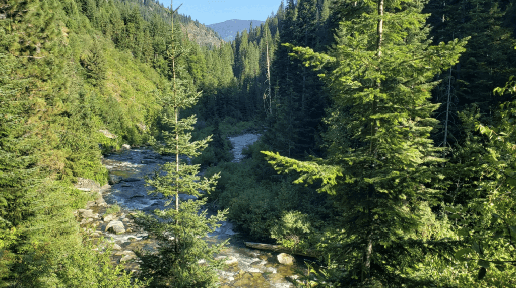
Located in the scenic Clearwater National Forest, this easy-to-moderate hike
Directions:
From Orofino, follow Hwy 12 east until you’re about 20 miles past Lowell. Turn north on Forest Service Road 462 near the mouth of Fish Creek just west of the Lochsa Historic Ranger Station. Drive about a quarter mile to the trailhead. Trail 223 leads to Fish Butte, while the Fish Creek trail at the end of the road is trail #224. You can follow Fish Creek trail in for 15 miles or make a short trip to Obia Cabin 4 miles away.
Elevation gain: 1,384 ft
Nearby Lodging: Lowell, Powell, Kamiah, Kooskia
Rapid River Trail
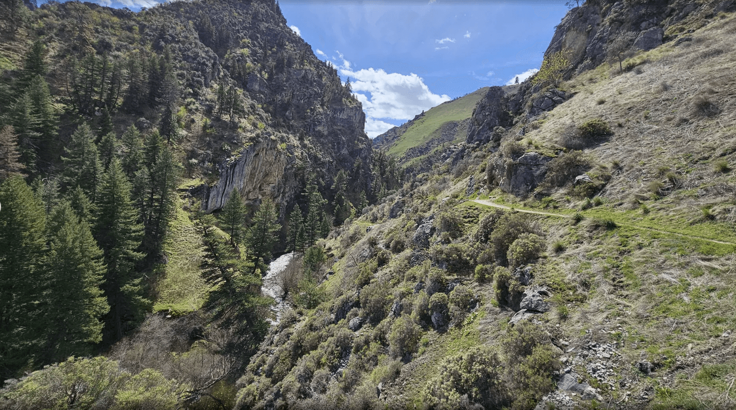
Head out on this 8.6-mile out-and-back trail near Riggins, Idaho. Generally considered a moderately challenging route, it takes an average of 4 hours to complete. This is a popular trail for backpacking, camping, and hiking, but you can still enjoy some solitude during quieter times of day. The best times to visit this trail are March through May. Dogs are welcome, but must be on a leash.
Elevation gain: 1,384 ft
Directions:
From Riggins, follow US-95 south about 4 miles. Turn west on Rapid River Road and follow for about 2.5 miles until you reach Forest Rd 2114A. Take a slight right and the trailhead will be on your right near the Salmon River School District.
Nearby Lodging: White Bird, Riggins, Grangeville
Fish Creek Loop
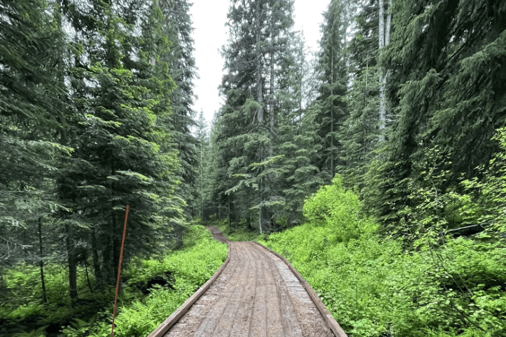
This 8-mile loop trail in the Nez Perce National Forest Generally considered a moderately challenging route, it takes an average of 3 hours to complete. This is a popular trail for birding, camping, hiking, and biking. The trail is treed and peaceful, with mild inclines and cool shade. This winding path will progressively climb, passing through meadows and over picturesque creeks. Follow the Fish Creek Trail until you ultimately reach a junction with the Boundary Cutoff—keep right here. The lovely path will guide you to the Fish Creek Warming Hut. Explore the isolated cabin, then merge onto the eastbound branch of Debbie’s Cutoff. At the trail’s end, turn left onto the Cabin Trail, which leads through lush forests. Eventually, you will reconnect with the Fish Creek Trail—keep left and hike back to the trailhead. The best times to visit this trail are May through October. Dogs are welcome, but must be on a leash.
Elevation gain: 780 feet
Directions:
From Grangeville head east on ID-13/E Main St. Turn south on Mount Idaho Road for .8 miles and continue straight onto Grangeville Salmon Rd for 6.8 miles. Take Fish Creek Loop west with a quick turn south onto Forest Rd 1863A. The trailhead is on your left.
Nearby Lodging: Grangeville
Snake River Trail
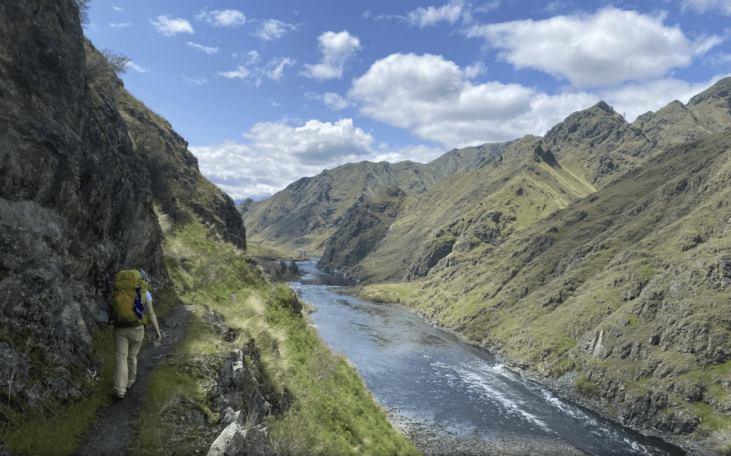
Experience 30 miles of beautiful canyon wilderness on this multi-day adventure in Hells Canyon, North America's deepest river gorge. With tranquil views of the Snake River, this trail is fairly hilly with flat sections in between. Campsites are interspersed throughout the trail. Discover petroglyphs, ancient drawings on rocks, from early Native people. Pass by old homesteads from previous canyon settlers. Big horn sheep, bear, mountain goats and other wildlife call this area home. Spring is a beautiful time to experience the colorful flowers and rushing streams from melting snow. This is an out-and-back hike that takes an average of 13 hours to complete, unless you work with one of our local jet boat tour operators to catch a ride. Best times to visit are March through May to avoid rattlesnakes. You'll need to carry your own water or have a water filtration system.
Elevation Gain: 4,888 feet
Directions:
From White Bird, head southwest on Old Hwy 95 for about 1.7 miles. Turn west on Doumecq Rd and after crossing the Salmon River, turn south on Forest Service Road 493/Deer Creek Road for about 10 miles. Keep right to continue on for another 6.7 miles. Turn left on Deer Cr Road. The trailhead will be on your left about 1.7 miles beyond.
Elk Creek Falls
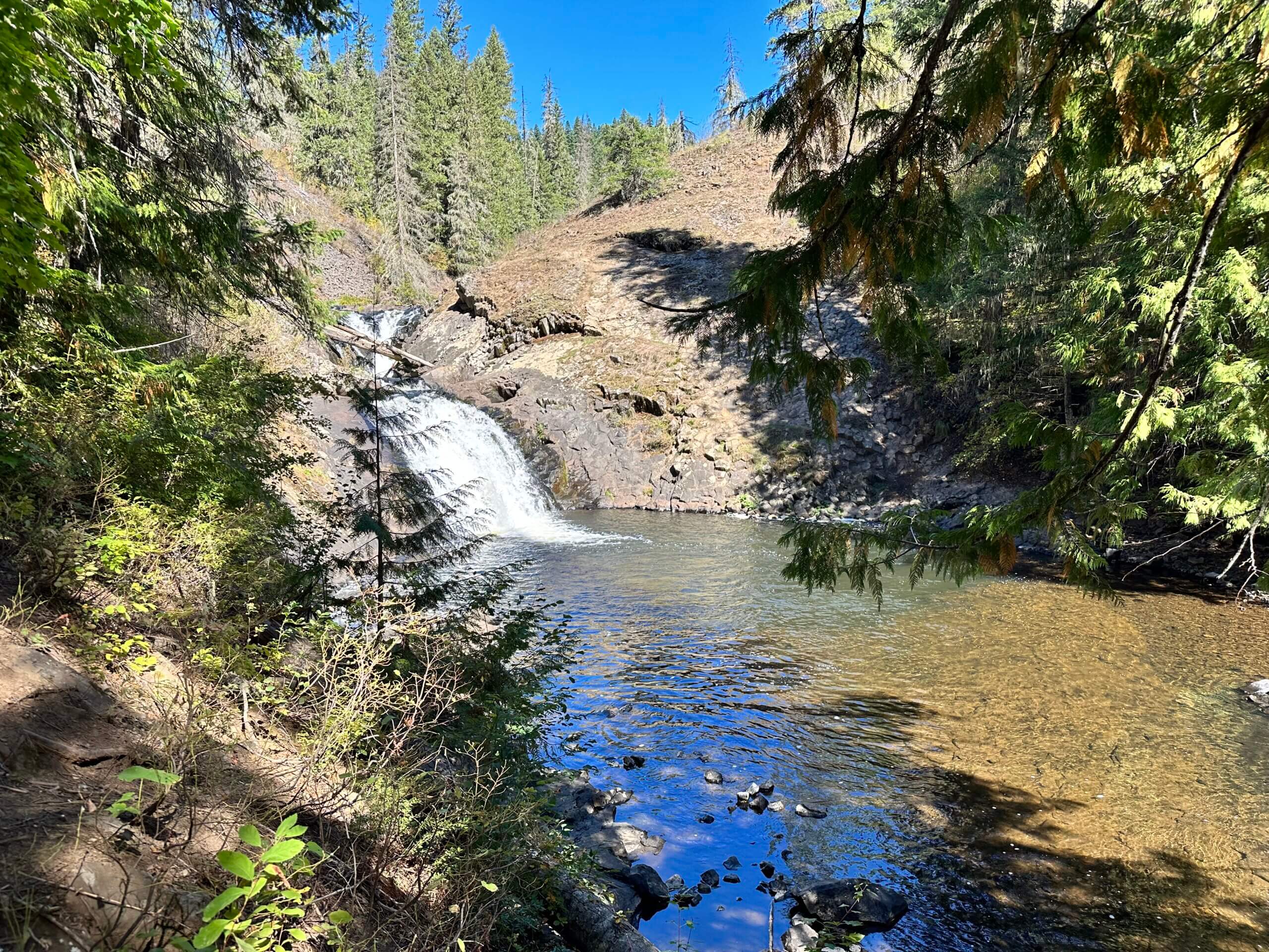
Explore Idaho's tallest waterfall near Elk River and one of the best trails in Idaho. This 2.6 mile loop trail through the lush forest takes you to the three separate drops: upper, middle, and lower falls. Each has a separate spur off the main loop trail. The upper falls trail can be steep and is switchbacked but you'll be well-rewarded with a refreshing swim in the pool below. The middle falls is the highest in Idaho. Benches dot the trail for peaceful respites. Best time to visit is May through September. Dogs are welcome but must be on a leash.
Elevation gain: 652 feet
Directions:
From Elk River, take ID-8 north out of town. The road will curve and turn south for about 2 miles. Turn south on Forest Road 1452 (gravel road) for a couple of miles. It leads to the recreation area parking lot and trailhead.
Nearby Lodging: Elk River, Deary, Moscow
